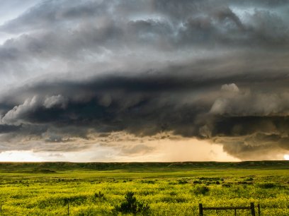
The La Niña pattern that shaped much of this past winter's weather has come to an end, and forecasters say El Niño is likely to take its place by summer. Some computer models suggest it could become unusually strong, which has scientists watching global heat trends closely heading into 2027.
While you have probably heard the terms El Niño and La Niña used to describe these complex weather patterns, it can be difficult to know the difference between the two. These periodic weather patterns occur as a result of fluctuating ocean temperatures in one part of the world, namely the east-central equatorial Pacific Ocean. This can lead to extreme weather (think intense rains and severe droughts) in other parts of the world, such as the United States.
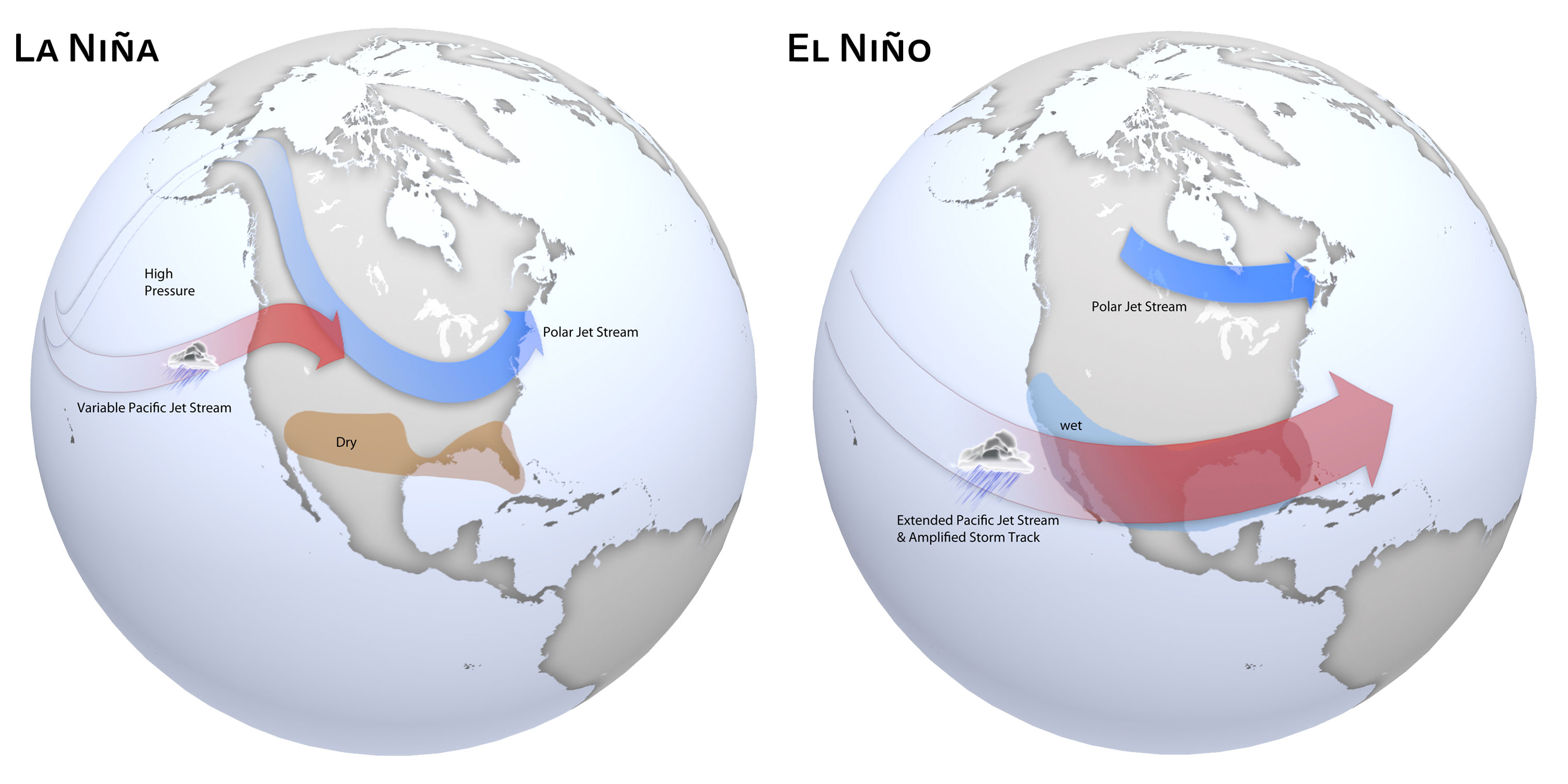
How Do El Niño and La Niña Affect the Weather?
The surface of the ocean warms and cools intermittently as it interacts with the strength of the trade winds, which blow from east to west in normal conditions. As the ocean surface temperature changes in response to atmospheric conditions, it modifies rainfall patterns. It’s a bit of a scientific dance between ocean and atmosphere, with the opposite ends of the spectrum known as El Niño (the warm phase) and La Niña (the cold phase). Together, these extreme phases are called the El Niño-Southern Oscillation (ENSO) cycle.
What Happens During an El Niño?
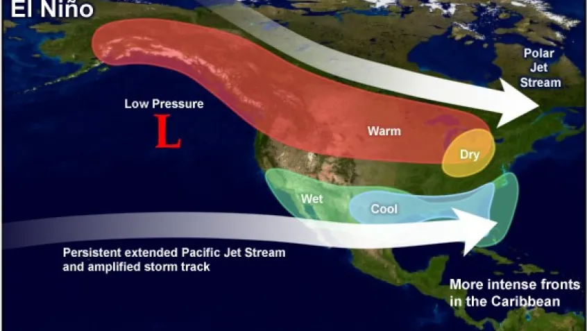
When warm water builds up along the central and eastern tropical Pacific Ocean, an El Niño occurs. This increases moisture rising in the air, resulting in more rainstorms. In the US, winter temperatures tend to be warmer than normal in the Northwest with decreased rainfall, while the Southeast experiences wetter-than-average conditions.
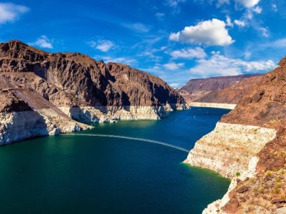
For example, in 1997, the unusually warm water was up to 6 °C warmer than average, resulting in above-average rainfall in certain parts of the world. You may recall that parts of the Southwest, including California, experienced historic flooding and landslides during 1997. Similarly, in 2015, Southern California’s sea levels were more than six inches above normal, leading to higher-than-normal tides and increased coastal flooding.
What Happens During a La Niña?
Conversely, when cool water builds up along the same region, a La Niña occurs with the opposite impact. In the US, winter temperatures tend to be cooler than average in the Northwest and warmer than average in the Southeast.
In 1988, the unusually cool water caused the atmosphere to cool in response. As less water evaporated, the air became dryer, cooler, and denser. Because this dense air didn’t rise or develop into storms, less rain fell in certain parts of the world, such as the eastern Pacific, Ecuador, Peru, and the southeastern United States.
Why Are El Niño and La Niña Important?
Together, El Niño and La Niña are part of a natural cycle that can significantly impact not only global weather, climate, and ocean conditions but also food production, human health, and water supply. These systems typically last about one to two years, with the cycle alternating every three to seven years.
A slowly developing La Niña is expected to influence weather patterns across much of the United States during the 2025–26 winter. What can we expect? NOAA’s winter outlook suggests La Niña will remain weak through December, January, and February, then shift toward neutral conditions, when Pacific Ocean temperatures are closer to average and neither El Niño nor La Niña is in place. The outlook favors warmer conditions across much of the East and South, with cooler temperatures more likely in parts of the northern Plains and Pacific Northwest, along with drier conditions in parts of the South and wetter conditions in portions of the North.
Why This Matters for Weather and Climate
El Niño and La Niña help explain why weather can feel so different from year to year. Changes in rainfall, temperature, and storm patterns can affect everything from water supplies and agriculture to wildlife and daily routines in communities across the country. These climate cycles also show how the ocean and atmosphere are connected, and why their interactions can lead to very different conditions from one region to another.
Learn More About Seasonal Weather Patterns
These patterns can also be explored through observation over time. Looking at seasonal outlook maps, tracking local weather, or comparing conditions in different regions can help learners see how large-scale climate patterns influence everyday weather, including shifts in familiar seasonal cues like when leaves change color.
Get a closer look at how these weather patterns work by watching a few helpful videos from the National Oceanic and Atmospheric Administration (NOAA). In particular, check out El Niño and La Niña Explained and Observing El Niño.